AI for High-Resolution Subsea Mapping
Turn raw sonar into high-resolution seabed models — faster, smarter, and at lower cost.
Higher Accuracy
Higher accuracy with no resurveying
Rapid Processing
Rapid processing at scale: hours, not weeks
Plug-and-Play
Plug-and-play AI pipeline
Cost Reduction
Lower operational and vessel costs
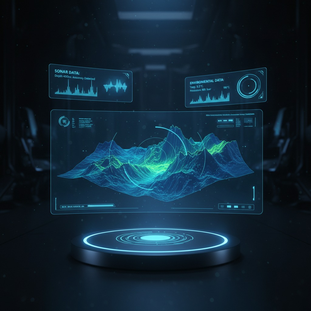
The HydroSight Platform
Transforming subsea data into actionable intelligence
What We Do
HydroSight is an AI processing engine for subsea sonar data. It cleans, fuses, and reconstructs multi-pass surveys into high-resolution terrain models, ready for GIS, CAD, or API workflows.
We apply deep-learning super-resolution models to sonar datasets, enabling higher-resolution seabed mapping without resurveying. Built for operators, hydrographers, and offshore infrastructure owners.
Super-Resolution Enhancement
Deep learning models increase effective resolution by 4-6x without resurveying
Automated Noise Reduction
Remove artifacts, shadows, and interference for clean datasets
Multi-Track Fusion
Merge multi-pass scans from MBES, SSS, and SBP into unified terrain models
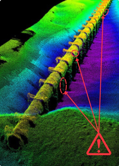
Anomaly and Hazard Cueing
Detect terrain deviations, objects, and mine-like features automatically
Batch Cloud Processing
Process large datasets at scale with cloud or on-premise deployment
GIS & API Integration
Export to GeoTIFF, XYZ, LAS/LAZ, STL/OBJ, Shapefiles, or access via RESTful API
Supported Inputs
- Multibeam Echosounder (MBES)
- Side-Scan Sonar (SSS)
- Sub-Bottom Profiler (SBP)
- Navigation logs
Export Formats
- GeoTIFF (Georeferenced)
- XYZ Point Cloud
- LAS/LAZ (Lidar Format)
- STL/OBJ (3D Models)
- Shapefiles
- RESTful API
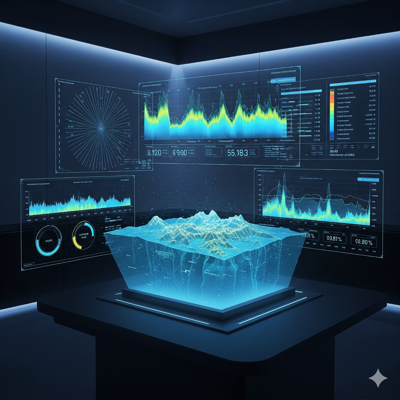
AI-Powered Processing Engine
State-of-the-art deep learning for subsea imaging
Upload Raw Sonar Datasets
Secure upload of MBES, SSS, SBP data via web portal or API
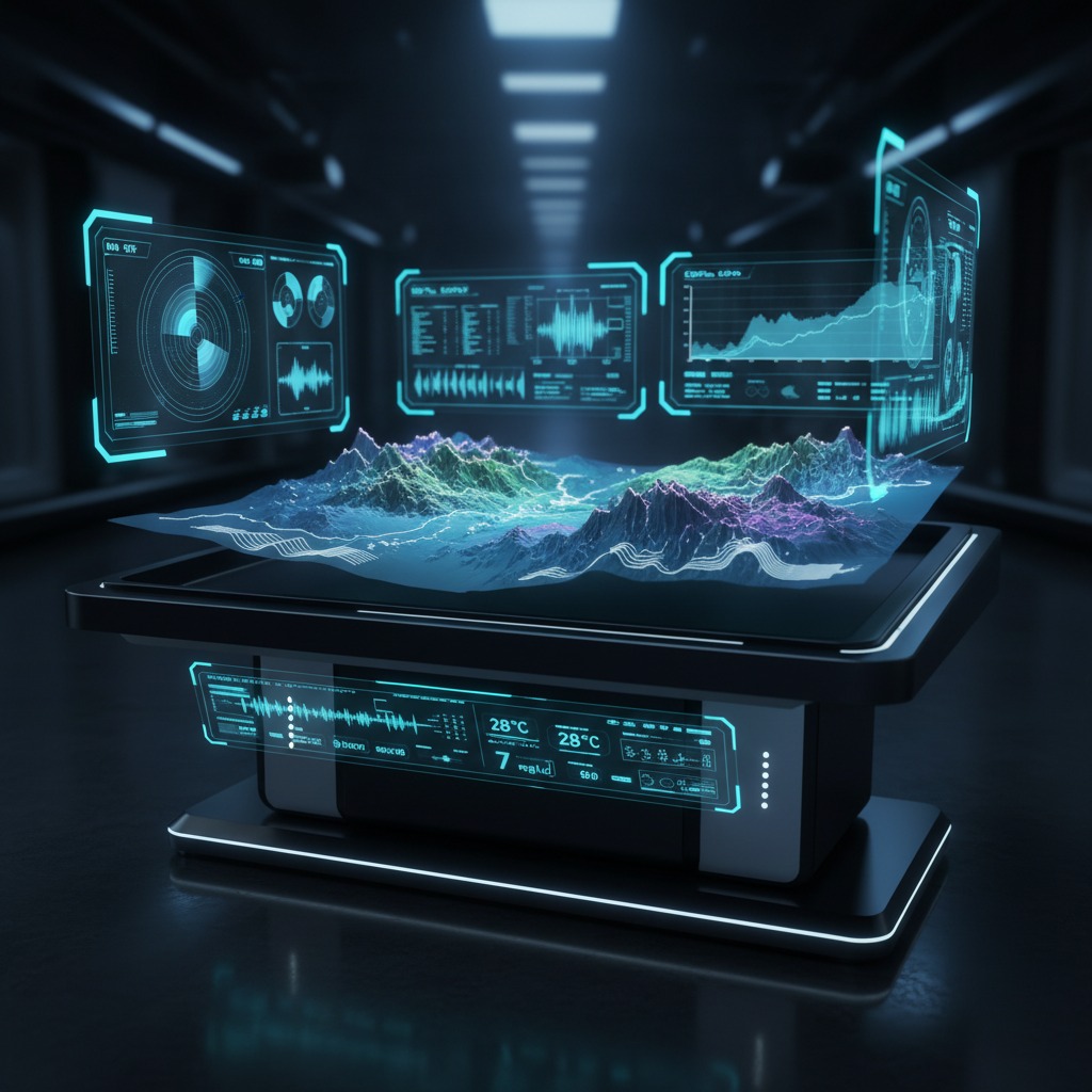
AI Engine Cleans & Reconstructs
Deep learning models remove noise and reconstruct missing resolution
Fusion Layer Merges Multi-Pass Scans
Intelligent fusion combines multiple survey passes into unified terrain
Analysis Layer Detects Deviations
Automated detection of terrain anomalies, objects, and features
Export to GIS/CAD or via API
Download enhanced maps in industry-standard formats or integrate via API
Deployment Options
- Cloud Processing: Scalable GPU clusters for batch processing
- On-Premise: Deploy within your secure environment
- Hybrid: Process locally, enhance in the cloud
Security & Data Ownership
- Encrypted data processing with AES-256
- Client retains full data ownership
- No model training on customer data without explicit consent
- On-premise deployment for sensitive operations
Watch our AI processing pipeline in action
Industries We Serve
Powering subsea intelligence across multiple sectors
Subsea Energy
- Pipeline routing
- Cable inspection
- Exposure and span detection
Ports and Harbors
- Dredging optimization
- Navigation safety
- Obstacle detection
Environment and Biodiversity
- Seafloor habitat mapping
- Marine impact studies
Defense and UXO
- Mine-like object cueing
- Seabed clearance planning
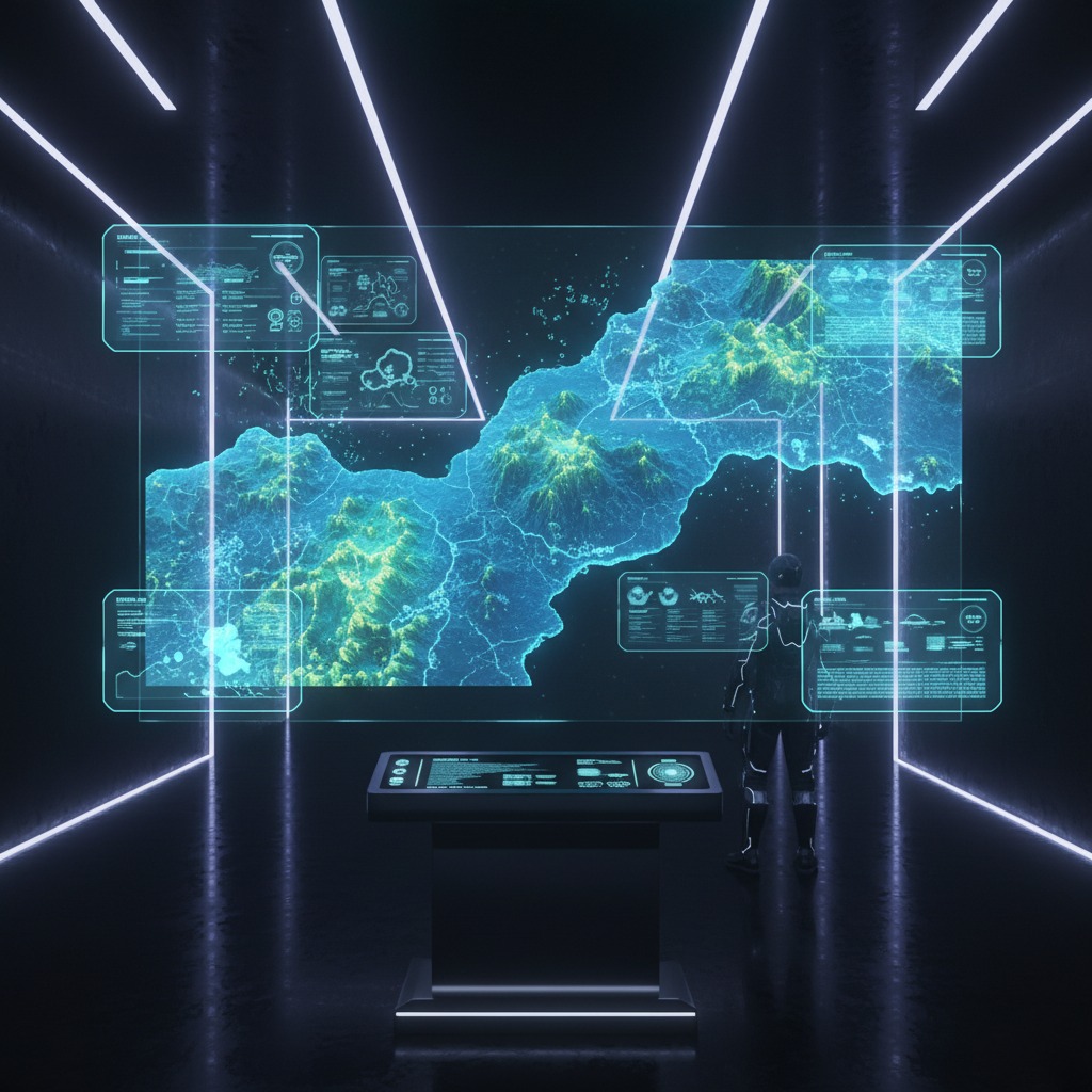
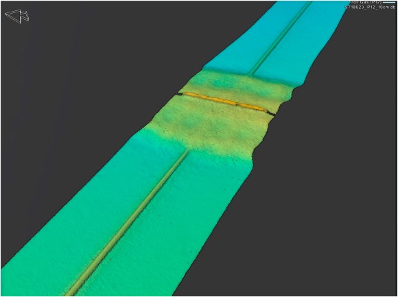
See the Difference
HydroSight reveals seabed detail not visible in the original dataset using deep-learning reconstruction. Explore before/after samples below.

Request a Demo
Schedule a demo or pilot evaluation with our team
About HydroSight
HydroSight is an AI-powered platform that transforms raw subsea sonar data into high-resolution bathymetric maps and actionable insights. Designed for offshore energy, ports, environmental monitoring, and defense sectors, HydroSight replaces slow, manual post-processing with fast and scalable AI analysis.
Leadership Team
Marine robotics & autonomous systems background. Former naval officer overseeing underwater navigation programs.
Entrepreneur and strategist in dual-use defense and blue-tech ventures. Former special operations commander.
AI engineer specializing in spatial deep-learning and signal reconstruction.
Accelerator Programs
Working with early design-partners in subsea energy, port infrastructure, and defense sectors.